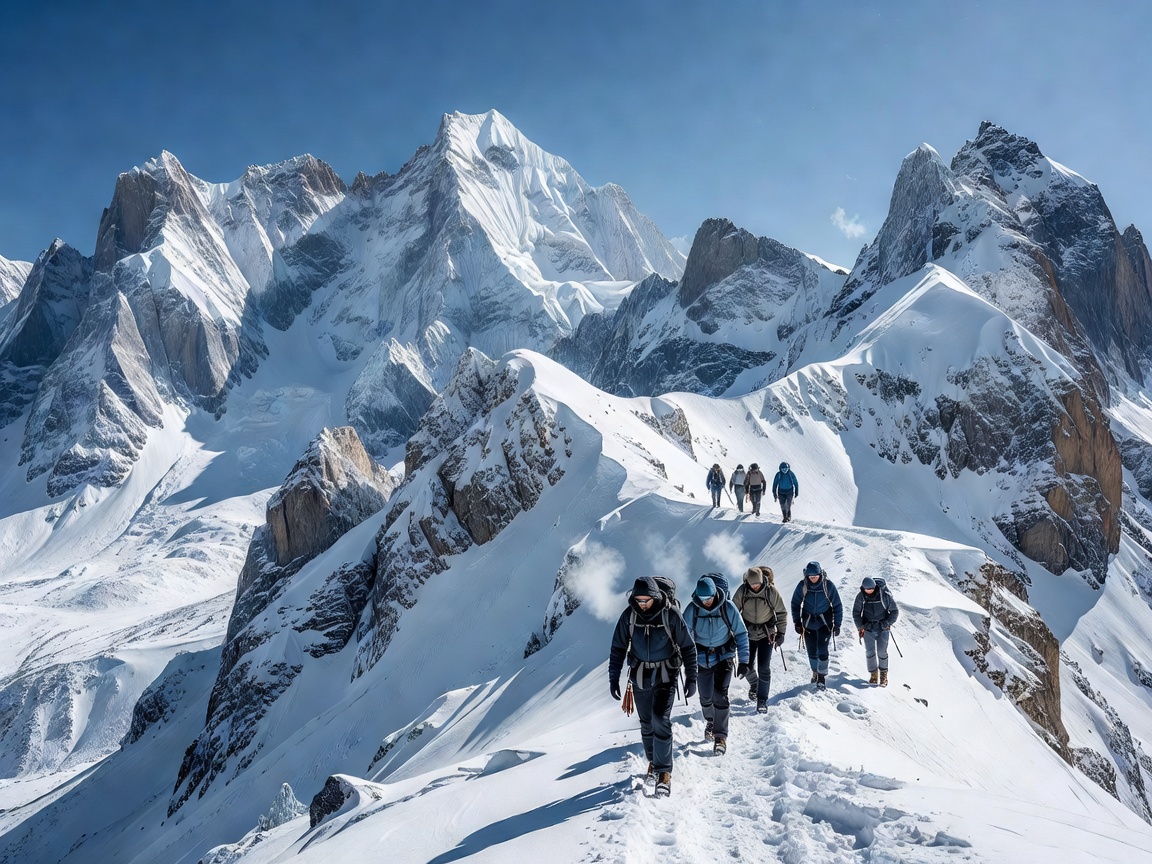
The Reality of Complete Signal Blackouts
When venturing deep into high-altitude mountain corridors, desert slot canyons, or dense sub-arctic forests, mobile cellular towers quickly disappear. Relying solely on smartphone mapping apps can leave explorers stranded when batteries drain from cold exposure or GPS chips fail under dense canopy cover.
"True wilderness self-reliance means never letting a dead battery compromise your route home. Modern satellite tech is an asset, but analog map mastery is your lifesaver."
1. Topographic Paper Maps & Declination Calculations
Before stepping onto any remote trail, carry a waterproof 1:24,000 or 1:50,000 scale topographic map of your target quadrant. Understanding contour intervals allows you to read elevation changes, ridge lines, and cliff hazard zones. Always calibrate your magnetic compass for regional magnetic declination—the variance between Magnetic North and True Geographic North.
2. Resection & Triangulation Methods
If you become disoriented in featureless terrain, identify two or three prominent visible landmarks (such as sharp peaks, river bends, or rock towers). Using a sighting compass, measure bearings to each point and project back lines on your paper map. The intersection point of these lines pins your exact position with high accuracy.
3. Satellite Emergency Telemetry
For true zero-coverage expeditions, a dedicated dual-way satellite messenger (such as Garmin inReach, ZOLEO, or ACR Bivy Stick) provides satellite-linked GPS location sharing, weather forecasts, and SOS emergency dispatch over the Iridium satellite constellation regardless of terrestrial cell infrastructure.
4. Power & Thermal Management
Batteries lose voltage rapidly sub-zero temperatures. Keep primary GPS receivers and emergency beacons inside thermal chest pockets next to your body, and pack a regulated 10,000mAh solar power bank built for rugged outdoor deployment.