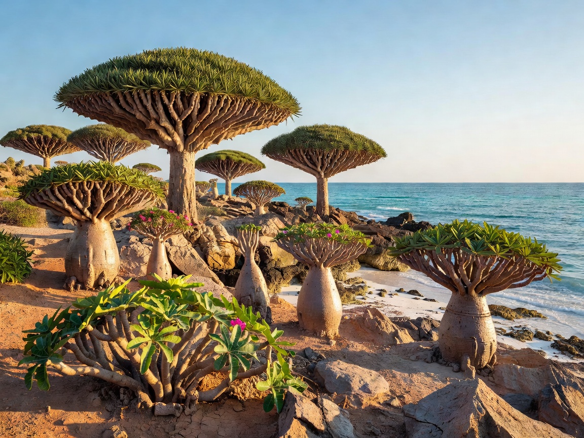
 Coastal / Island
12.4634° N, 53.8237° E
Coastal / Island
12.4634° N, 53.8237° E
Socotra Archipelago
Home to unique umbrella-shaped Dragon’s Blood trees and species found nowhere else on planet Earth.
Step off the beaten path into forgotten canyons, cliffside sanctuaries, ancient desert oases, and ethereal misty archipelagoes across seven continents.
Use the terrain filter to isolate secret spots by geographic biome and ecosystem.
Coastal / Island
12.4634° N, 53.8237° E
Home to unique umbrella-shaped Dragon’s Blood trees and species found nowhere else on planet Earth.
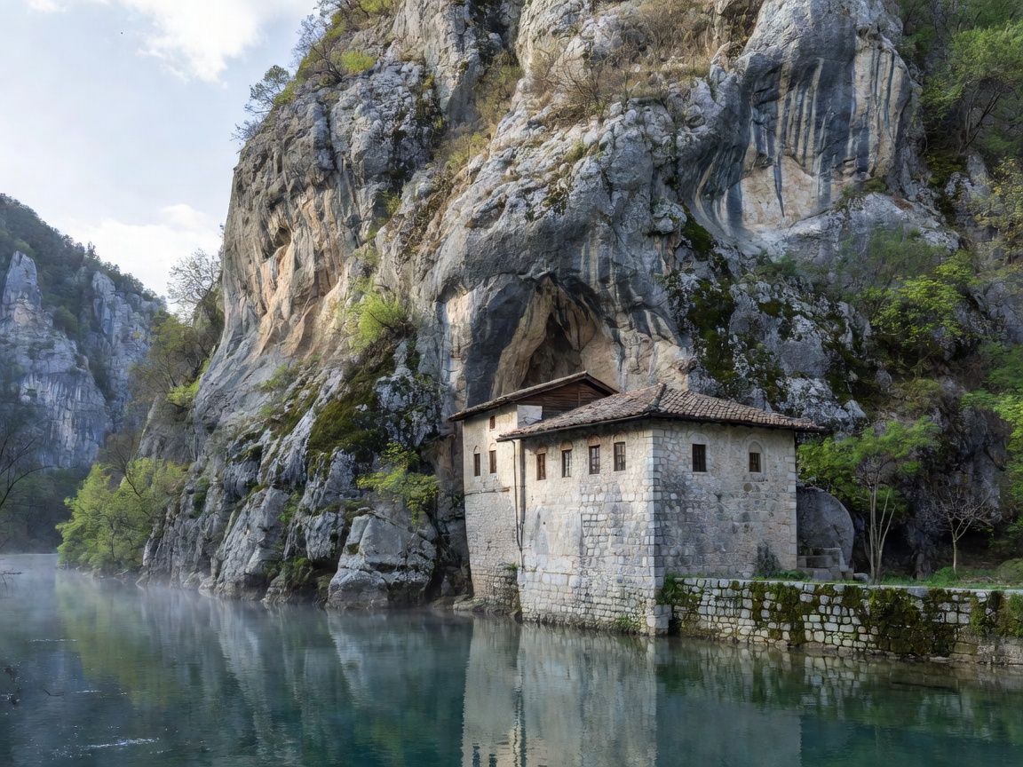 Ancient / Cultural
43.2568° N, 17.8931° E
Ancient / Cultural
43.2568° N, 17.8931° E
A 600-year-old Sufi monastery nestled against a sheer 200-meter karst cliff edge where emerald waters gush from subterranean caverns.
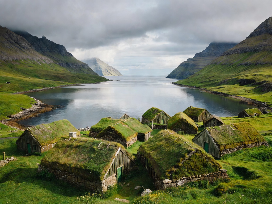 Mountain / Lagoon
62.2472° N, 7.1772° W
Mountain / Lagoon
62.2472° N, 7.1772° W
A tiny village of turf-roofed cottages overlooking a tidal lagoon enclosed by high vertical basalt mountains and rushing waterfalls.
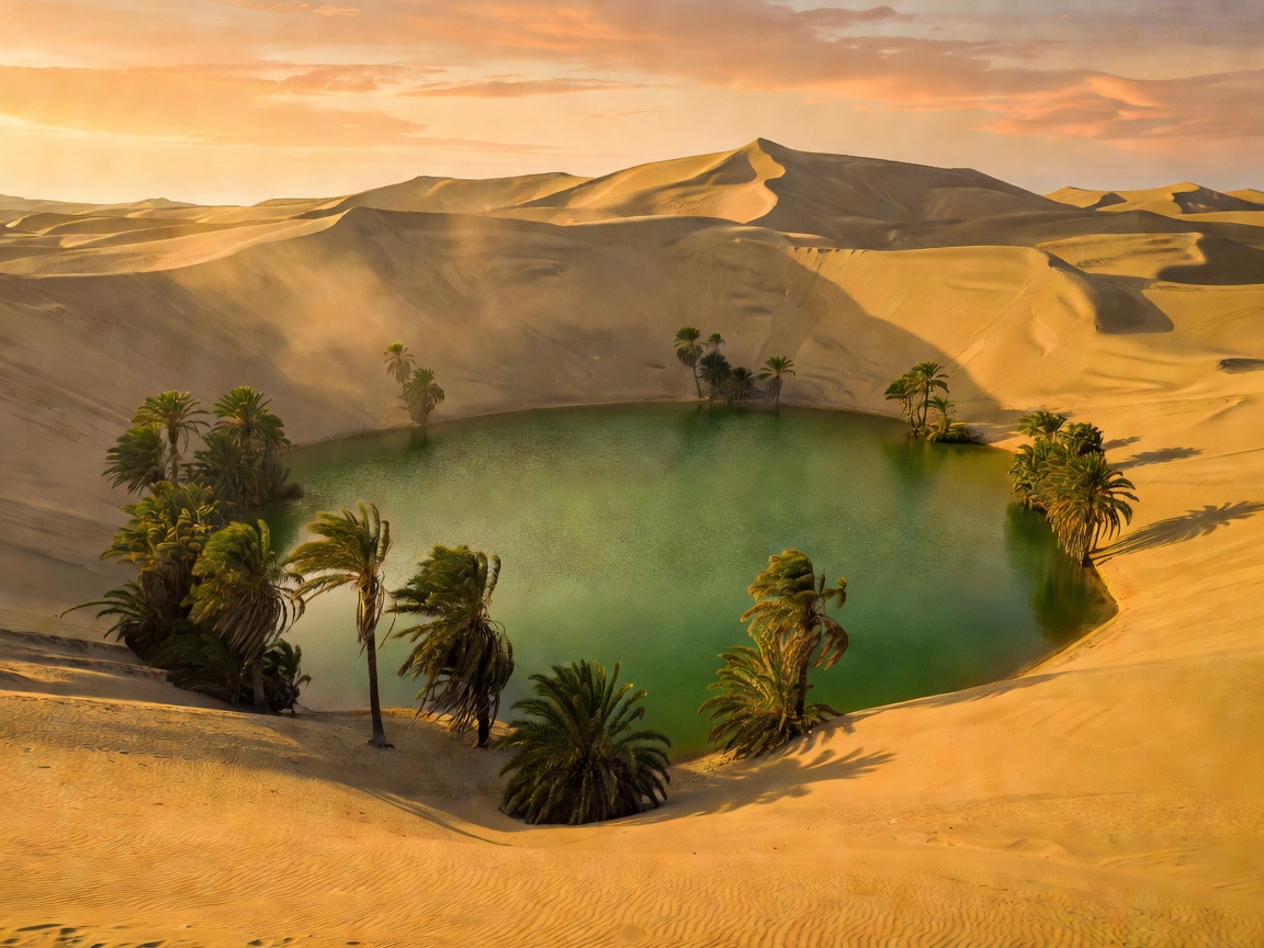 Desert Oasis
14.0875° S, 75.7626° W
Desert Oasis
14.0875° S, 75.7626° W
A surreal natural palm-fringed oasis hidden amid the vast, high golden sand dunes of the Atacama coastal region.
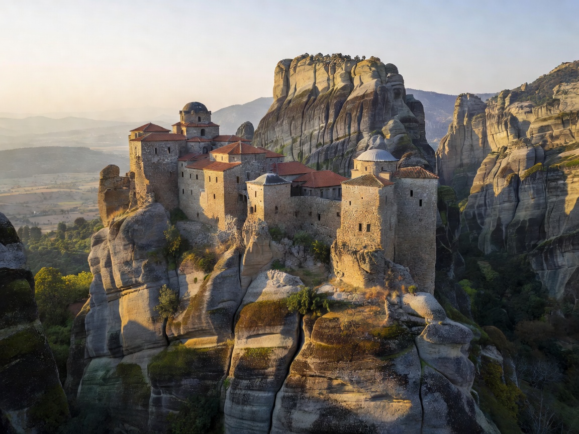 Ancient / Rock Pillar
39.7217° N, 21.6306° E
Ancient / Rock Pillar
39.7217° N, 21.6306° E
Perched precariously atop giant natural monolith pillars, these 14th-century retreats seem suspended in the clouds.
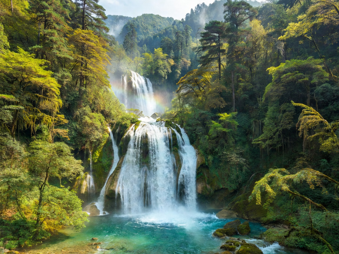 Forest / Waterfalls
33.2600° N, 103.9186° E
Forest / Waterfalls
33.2600° N, 103.9186° E
Multilevel mineral-rich blue-green lakes, roaring multi-tiered waterfalls, and ancient pine forests framed by snow peaks.
Why seasoned adventurers trust our field reports over mainstream travel blogs.
Every coordinate is logged using dual-frequency satellite tracking to ensure exact trailhead accuracy in zero-signal regions.
Precise climatic timing data preventing trips during unexpected flash monsoon seasons or impassable snow blockades.
We work directly with local native guides to foster cultural preserve agreements and Leave-No-Trace trail ethics.